Esri puts georeferenced splats into Unreal Engine

Illustration: Splats Newsroom · Industry

Aug 13, 2026, 9:30 AM ETIndustry
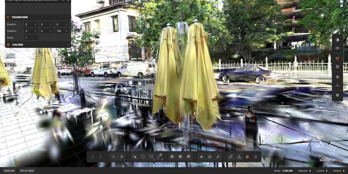
Esri has released ArcGIS Maps SDK for Unreal Engine 2.4.0 with a new gaussian splat layer type, letting developers stream georeferenced splat datasets from ArcGIS Online or ArcGIS Enterprise directly into Unreal scenes.
Why it matters: This completes Esri's splat rollout across its stack: ArcGIS Pro 3.6 introduced the layer, the JavaScript SDK 5.0 took it to the browser, ArcGIS Enterprise 12.1 brought it on-premises — and now it lands in the engine that runs simulations, digital twins and serious games.
The payoff is reality capture and GIS data in one scene: a utility inspecting a substation from drone capture can drop the splat reconstruction next to the parcel boundaries and network features it already streams from ArcGIS.
Zoom in:
- Splat layers reference a web layer on ArcGIS Online or Enterprise by item URL or REST endpoint, or read local 3D Tiles data (tileset.json or packaged .3tz) for offline work.
- Content comes from ArcGIS Reality Studio, ArcGIS Reality for ArcGIS Pro and Drone2Map.
- The C++ API gains an ArcGISGaussianSplatLayer class, plus two Blueprint nodes for spawning splat layers without code.
- Desktop platforms first; Esri says mobile support is planned.
The fine print: One known issue ships with the release: splat layer opacity can't be modified — layers always render opaque (BUG-000186433). The release notes state no splat-count ceiling and no GPU floor, and Unreal Engine 5.5 support has been dropped.